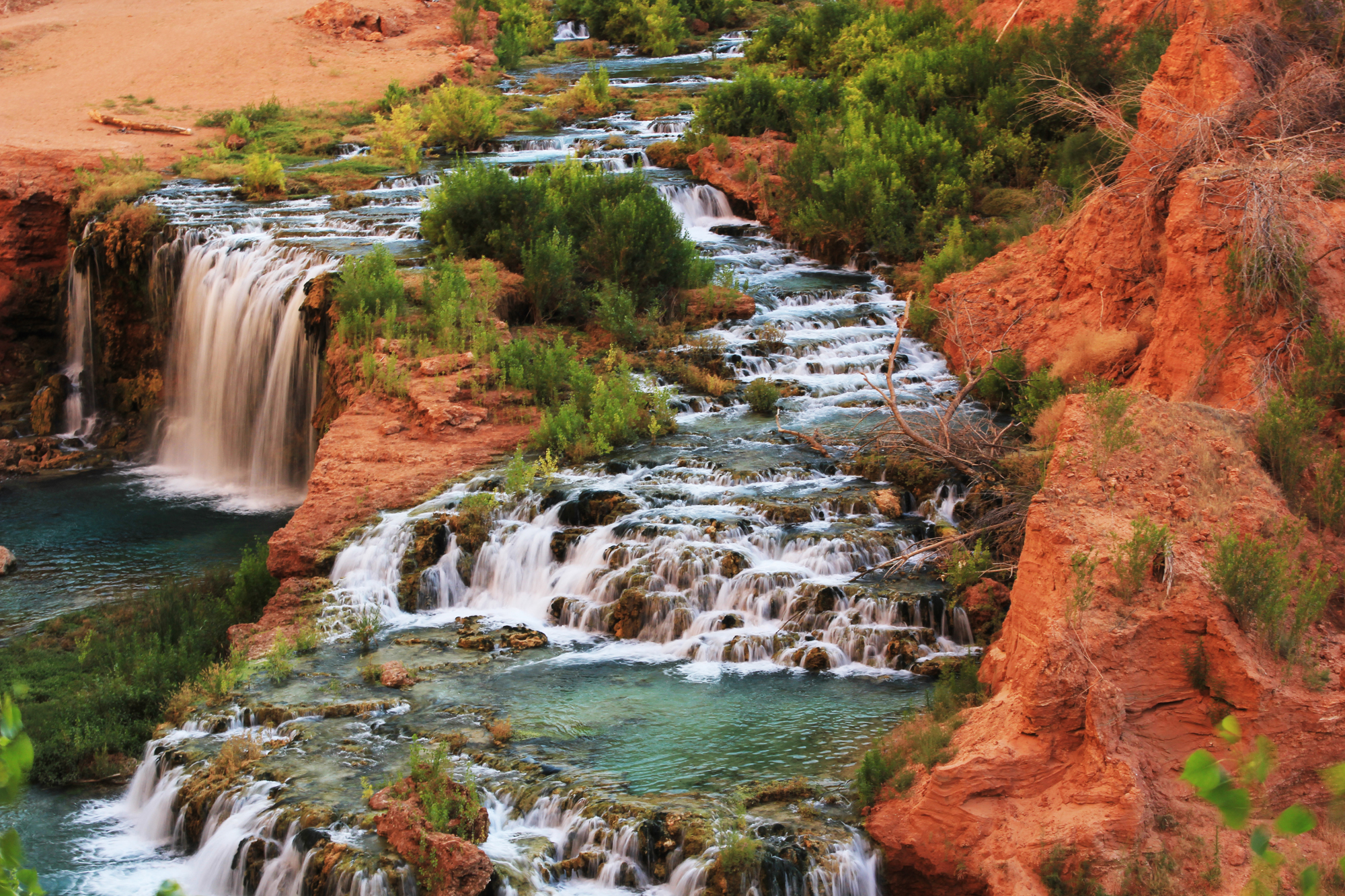
The Link below to a Google Earth image of the Supai campground area. Which is roughly from the base of Havasu Falls (about 1/4 mile NW of the base), along both sides of the stream, to the area just above Mooney Falls.
Google Aerial Image of the Supai Campground Area
You can move around the Google Map to get views from many points on the trail, village, and campground.
